Nar Phu Valley Trek Map

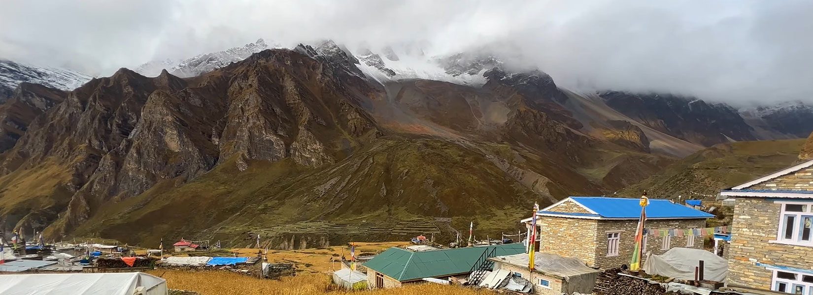
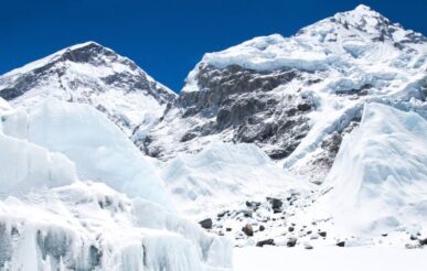
Nar Phu Valley Trek is one of Nepal’s most thrilling and adventurous treks, offering a wide range of experiences from natural, cultural, and religious points of view. Nar Phu Valley is located in the remote location of Mid-Western Nepal, which is rich in Buddhist community and culture. It takes us through the diverse settlements, adventurous cliffs and rocky ridges, and the lap of the Himalayas in the north.
Nar Phu Valley Trek Map starts from Koto, which can be reached after 8 to 9 hours of drive from Kathmandu. Following the Marsyangdi River, the trail goes uphill to Meta and Phu Village. The trek includes walking through the rugged landscapes, crossing rivers, and through narrow gorges to reach Phu and descend back to Nar Phedi. Our hike offers us the chance to groom into the community as it is known for its traditional Tibetan culture and ancient monasteries. With the magnificent views of the Annapurna and Dhaulagiri Range, our trail meets at Nar Village, after which we will reach one of the high-altitude passes in the region, Kang La Pass.
From Kang La Pass(5,306 m), we traverse the grassy terrains, where we can spot endangered animals, such as Naurs (Blue Sheep). We descend to Ngawal and Pisang, making our hike adventurous through the rocky terrains and the river banks. We return to Kathmandu from Pisang and wrap up our Nar Phu Village Trek Map Package.
Here is a detailed overview of this trek. Explore below!!
Highlights of the Trek
- Cross Cultural Activities
- Visit Tibetan Gompas like Samdu, Choling, and Tashi Monastery.
- Views of Annapurna and Dhaulagiri Mountain Range mountain peaks, such as Annapurna I, II, Pisang Peak, Kangla Himal, Chulu, Gangapurna, and Tilicho Peak.
- Reach Kang La Pass at 5240 Meters
- Explore Sherpa and Thakali Settlements and Explore Their Culture
Nar Phu Valley Trek Map Detailed Itinerary

Day 1: Arrival in Kathmandu
Location: Kathmandu
Kathmandu Altitude: 1400 Meters
Accommodation: Hotel
Trekkers will arrive at Tribhuvan International Airport in Kathmandu and will be escorted by our officials to the hotel. They will have enough time to rest and prepare today. Besides preparation, they can explore nearby places from the hotel in Thamel.
Thamel is a beautiful tourist area with many shops and stores where you can check out hiking gear and equipment.
Day 2: Free day, trek preparations, and gear check
Location: Kathmandu
Kathmandu Altitude: 1400 Meters
Accommodation: Hotel
Today is a free day, so we will utilize this day to explore Kathmandu Valley. We will begin our journey to Pashupatinath Temple in the morning, where we will participate in the morning Aarti Darshan. Pashupatinath, located on the banks of the Bagmati River, is a holy Hindu Temple where people worship Lord Shiva.
After that, we will visit Boudhanath and Swayambhunath Temples, two significant Buddhist Monasteries worldwide. We can see large chortens, statues, praying wheels, and prayer flags around these stupas, which reflect Buddhism and its practice in Nepal. Besides, we can visit Kathmandu Durbar Square and Narayanhiti Palace in the center of Kathmandu, which gives insights into Nepal’s history and culture.
After wrapping up our sightseeing activities, we will return to the hotel and prepare for the trek.
Day 3: Drive to Koto

Location: Koto
Koto Altitude: 2600 Meters
Accommodation: Tea House
We will drive to Koto at 2600 meters from Kathmandu City on a 4-wheeler via Besisahar and Dharapani. We will first head towards Besisahar, the headquarters of Lamjung District. You can stop and have lunch there, as there are many tea shops and restaurants around the area. From Besisahar, we drive straight to Dharapani. The trail takes us through the banks of the Marsyangdi River and reaches Chamje Village before reaching Dharapani. You can see the view of the wide open valley that stretches to Dharapani.
From Dharapani, we will slowly drive towards the settlements at Bagarchhap, from where we can see the beautiful mountain peaks of Annapurna and Dhaulagiri Range. After we pass Danakyu and Thanchowk, we will finally make it to Koto Village, where we will stay at a tea house.
Day 4: Trek to Meta (3,560m)
Location: Meta
Meta Altitude: 3560 Meters
Accommodation: Tea House
From Koto, we will hike alongside the banks of Naar Khola and head uphill to Meta Village, our next destination. The trail traverses through Campsite and Nar Khola Campsite on the river banks. You should cross several suspension bridges, such as Soti Wooden Bridge. There is also a natural cave around the place, where we can visit and learn more about its background.
From there, we will head towards Singenge as we traverse Chhaucha and Hulaki Odar. There are big waterfalls that can attract tourists to this trail. After that, it only takes around an hour to reach Meta Village at 3560 meters.
Day 5: Trek to Phu (4,080m)

Location: Phu
Phu Village Altitude: 4080 Meters
Accommodation: Tea House
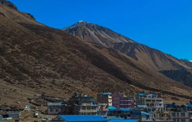
Today, we will hike to Phu Village, one of our two major destinations on the Nar Phu Valley Trek Map. Phu Village features a rocky building with barren lands, which can be reached after hiking 6 hours from Meta. We leave Meta Village early in the morning and reach Nar Phedi. Nar Phedi is the base of both Nar and Phu Village. We will head from the right side of the valley and pass through the villages at Jhunum and Chyakhu, which features traditional settlements with Buddhist background.
After a few hours of trek, we will traverse through Kyang Village, enjoying the scenes of Annapurna and Lamjung Himal. From Kyang, we will continue our journey uphill, directly taking us to Phu Village. We can view Pisang Peak and Annapurna II from Phu Village.
Day 6: Rest day / Discover Phu
Location: Phu
Phu Village Altitude: 4080 Meters
Accommodation: Tea House
We must acclimate as we have already been over 4000 meters above sea level. The main motive of acclimatization is to relieve our body and adjust it to the high altitude. For this, trekkers must be mindful of having enough rest, eating nutritious food, and staying hydrated.
We must take our time with the uphill climb as it drains our energy and makes us prone to altitude sickness. So even though we reach a high altitude, we must descend to a lower altitude to stay overnight.
This day will consist the exploration activities around Phu Village too. The Buddhist culture and background of Phu Village are very well-known, and the three Tibetan Monasteries: Samdu, Choling, and Tashi Monastery, have contributed on their way. We can explore cross-cultural activities, visit gompas, and meet monks to learn more about Buddhism. But remember to be decent during the visit; do not take photographs without permission or touch monks during your conversation.
Day 7: Trek to Nar Phedi (3,490m)
Location: Nar Phedi
Nar Phedi Altitude: 3490 Meters
Accommodation: Tea House
Today, we will return to Nar Phedi on the same route we traveled before. We will hike downhill from Phu Village alongside the banks of Phu Khola and then reach and leave the entrance gate of Phu Valley. Then we pass through the wide grassland, where we can see Blue Sheep.
We will reach a rocky terrain in the trail deep into the Kyang Village, a Buddhist settlement. From there, we will continue our journey to the villages of Chyakhu and Jhunum before reaching Nar Phedi at 3490 meters. Tonight we will stay at a tea house.
Day 8: Trek to Nar Village (4,110m)

Location: Nar Village
Nar Village Altitude: 4110 Meters
Accommodation: Tea House
The trail to Nar Phedi and Nar Village is rich in Buddhist Monasteries; we will traverse the Buddhist settlements, visiting several gompas around the region. After a short trek from Nar Phedi, we will first reach the Entrance Gate of Nar Valley. Then, the trail takes us to Yughat before reaching the second gate of Nar Valley.
Afterward, we will take a subtle hike to the Stone Wall and make the ascent to Nar Village at 4110 meters. There is a hydro project around this area, which can be explored if we have time left.
Day 9: Trek to Ngawal via the Kang La Pass (5,240m)

Location: Ngawal
Ngawal Altitude: 3660 Meters
Accommodation: Tea House
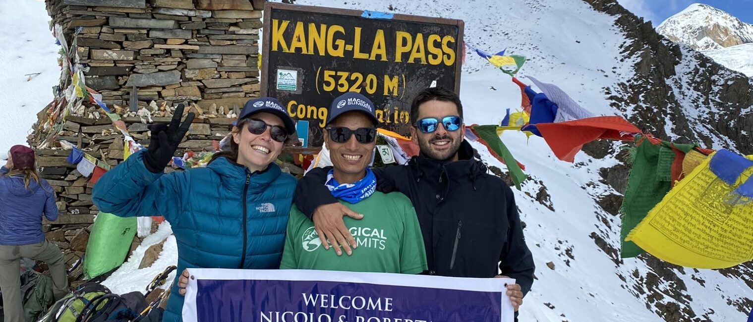
To reach Ngawal from Nar Village, we must make a huge ascent to Kang La Pass at 5306 meters above sea level. It is one of the high-altitude locations, and we can enjoy the views of the Himalayas in the north, Nar Valley, and the pristine rivers around the area.
First, we will ascent to Kang La Phedi at 4620 meters, the base of Kang La Pass. Afterward, we will cross a metal bridge in the middle and traverse through Steep Norch before reaching Kang La Pass.
From Kang La Pass, we will descend to Ngawal via grassy slopes and steep ridges. We can also visit Chulus Waterfall from the trail as we journey to Ngawal.
Day 10: Trek to Pisang and drive to Kathmandu
Location: Pisang
Pisang Altitude: 3250 Meters
Accommodation: Tea House
From Ngawal, we will now travel to Pisang and head toward Kathmandu before wrapping up the Nar Phu Valley Trek Map Package. We traverse through the Buddhist settlement rich in mani walls and chorten. As we continue our journey, we will pass through a hospital before reaching Ghyaru.
From there, the trail goes downhill through the Deuralidanda and Mring Tso, and we enter a wide valley of Pisang. Upon arriving at Pisang, we will catch a 4-wheeler to return to Kathmandu and move to a hotel.
Day 11: Free day / Fly to home
Today, trekkers will get enough time to pack themselves for their return. We have completed our Nar Phu Valley Trek Map Package and will prepare to fly you back to your home country. You will be escorted to Tribhuvan International Airport, where you can catch a plane and bid farewell to Nepal.

Best Time For Nar Phu Valley Trek
This may surprise you, but the route to Nar Phu Valley has been successfully crossed in almost all seasons. However, this remote and untouched valley has its best season to visit. March to May (Spring) and September to November (Autumn) are the best times of the year for the Nar Phu Valley trek. The highest elevation you will e reaching for this trek is 5306 meters (Kang La Pass), and the route to get there will also be high and remote. This means the Nar Phu Valley region will generally not be warm. But still, there are many differences in temperature, climate, and snowfall in each season throughout the year.
Autumn
Max temperature: 20 degrees C
Min temperature: -5 degrees C
Precipitation: low
Weather: stable
Autumn hits in September and lasts till November here. The views are better with less haze and cloudy days during these periods. Likewise, the stable weather in Autumn provides warm days and cold nights.
This is an ideal sea for trekking, but the route can be crowded because these season are the peak seasons for trekking. If trekking is off your list, then there is always a helicopter service to Nar Phu Valley to book last at an affordable price.
Spring
Max temperature: 22 degrees C
Min temperature: -5 degrees C
Precipitation: low
Weather: stable with clear sunny days
Another popular month for a Nar Phu Valley trek is from March to May, as the trekking conditions are at their best. The spring in this region offers a stable temperature, along with less cloudy skies, less rain, and a low chance of snow. You will love the landscapes, crisp air, and spectacular views in spring. These months are also on the routes, and terajoules are the best, but if you are ready for the crows, the weather and climate should be fine for this trek.
Summer and Monsoon
Max temperature: 26 to 33 degrees C
Min temperature: 5 degrees C
Precipitation: high
Weather: not stable, very hot weather with a chance of rainfall
From June to September, the summer and monsoon seasons are problematic for trekking for nar phu valley. Besides the high rainfall chances, the wet weather during this period can also obscure the en-route mountain views. But if you are all prepared and packed with the right gear to trek for nar phu valley, then the summer and monsoon should be fine.
Winter
Max temperature: 12 degrees C
Min temperature: -10 degrees C
Precipitation: low
Weather: not stable, high chance of snowfall
Winter can be harsh, but it does not have to be the worst time to trek around Nar Phu Valley. But the temperature is very low compared to other seasons, and it is certainly the off-season to trek. Trekkers must be well prepared to adjust to this region’s extremely cold temper in winter. However, the skies are generally clear and offer magnificent views of mountains.
The main benefit is the low price of accommodation you will get due to the lo influx of travelers.
You may also like:
- Annapurna Circuit Trek 10 Days
- Upper Mustang Teri La Pass and Nar Phu Trek
- Manaslu Circuit and Tsum Valley Trek
Conclusion
Nar Phu Valley Trek offers a once-in-a-lifetime experience as it takes you to a vibrant and diverse region rich in natural beauty, culture, and people. Hiking through the rocky trails and high altitude pass and immersing in the Tibetan Buddhist Culture will always be memorable. We are dedicated to providing an unmatching experience through our customized itinerary to Nar Phu Valley, so if you are looking forward to booking a trip, contact us.
