- 14 Days
- 3,730m

Dhaulagiri Circuit is a strenuous trek through high mountain pastures, high passes, serene and undiscovered valleys. Mount Dhaulagiri is the 7th highest mountain in the world at an elevation of 8,167m. Dhaulagiri Circuit, also known as Dhaulagiri round, which is probably one of the best treks in the Nepal Himalaya.
Mt. Dhaulagiri rises above the deepest gorge in the world, the Kali Gandaki, and the circuit offers a stunning view of the entire Dhaulagiri range. The Dhaulagiri Circuit route was discovered by the French group, hence its French Pass, which leads to a lonely region known as the Hidden Valley. The rewards of this trek are the spectacular views of views of Dhaulagiri, Tukuche, Annapurnas and Nilgiri Himal.
Dhaulagiri Circuit trekking routes begin after an 8-hour scenic drive from Kathmandu to Beni. From Beni, you head north-west through the villages of Babiachour. You pass through the warm and vibrant villages of Babiachour, Dharapani, Dobang and Muri to the Italian and Dhaulagiri Base Camp.On the route, you pass the high mountain passes like the French Pass and the Dhampus pass, from where you descend to the Marpha, Jomsom and join the Annapurna Circuit.
The trail passes through villages and terraced farmland, along rivers and gorges, along glaciers and moraines. With time to acclimatize before tackling the high passes, there is plenty of opportunity to enjoy the magnificent views of the mountains.
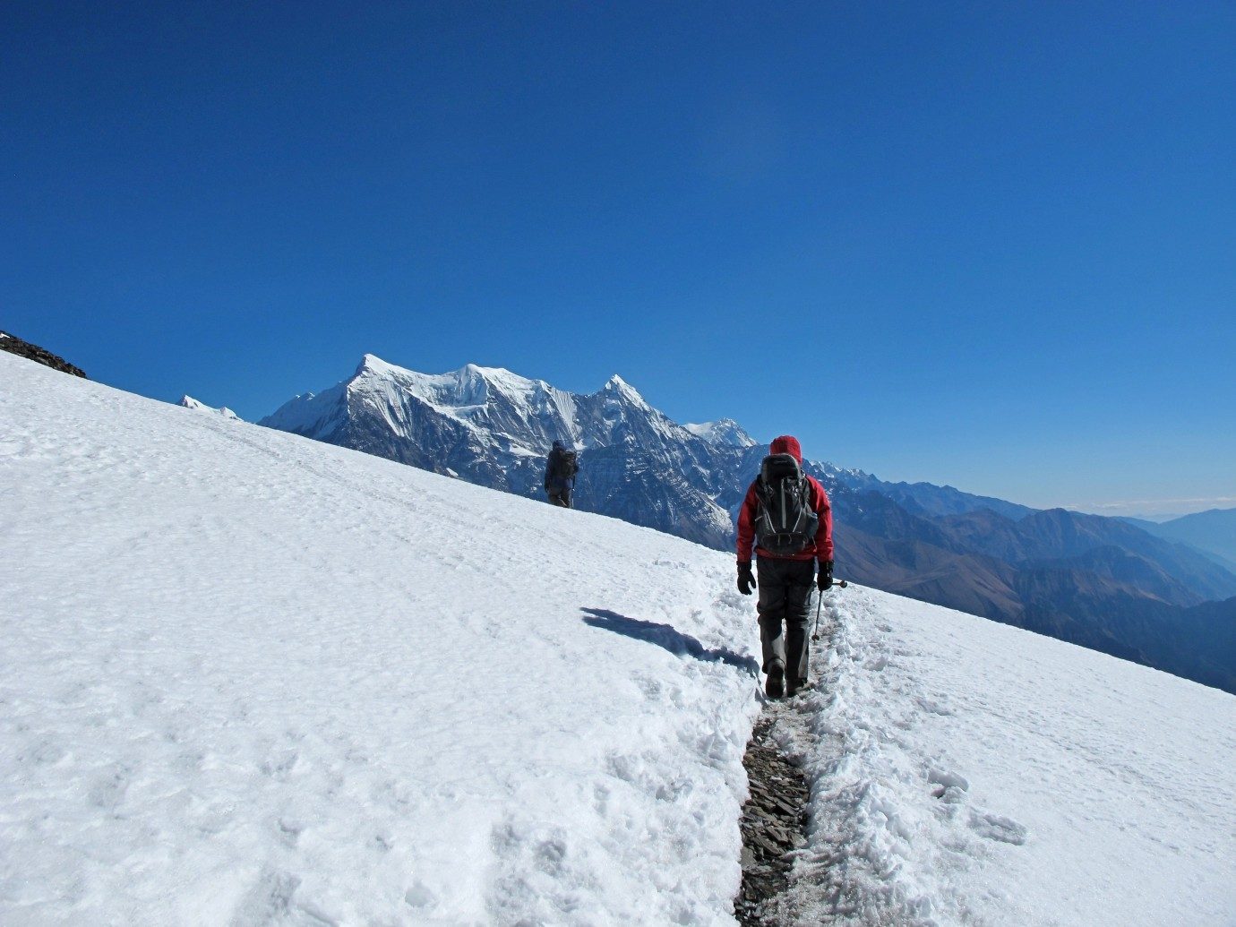
Dhaulagiri Circuit is a challenging trek, one of the hardest in Nepal—suitable for hikkers with previous hiking experience at altitudes above 5,000m. Optionally, Dhampus Peak climb (6,060m) requires basic mountaineering skills, such as knowledge of the use of ice axes and crampons.
For several days in a row are spent trekking snow above 5,000 meters, with no easy way down. Adding to the challenging cold—as this is a camping trek, there are no warm and comfortable lodges to relax to at night. The Dhaulagiri Circuit trek is not for beginner hikers or first-time travelers to Nepal, but those with more experience will find rewards high.
Welcome to the Himalayas! You will arrive in Kathmandu. We will meet and greet and take you to your hotel.
Today is free and rest day in Kathmandu, or you can wander around the city to get familiar with the surrounding. There are varieties of shops and fun places where you can hang out and enjoy the time.
Today, it’s free for sightseeing in Kathmandu. You may want to visit Durbar Square in the heart of the old town, where the old Royal Palace with its intricate woodcarving is located. The whole area is a labyrinth of temples and images.
The narrow alleys that lead away from the square in all directions, full of the most amazing variety of shops and stalls. Some of these landmarks are considered World Heritage Sites, including the historic Bhaktapur Durbar Square, the famous Monkey Temple Swayambhunath and the Buddhist Shrine Buddhanath, one of the largest stupas in the world.
Today, there will also be a trip briefing with gear check. If you need to rent or buy equipment locally, there will be time to do this today.
After breakfast, head to Beni by a local bus or optionally private car/jeep. You will find most of the landscapes are very enjoyable along the countryside.
Beni is the headquarters of the district and has a police checkpoint where your trekking permits will be checked. The town is situated on the banks of MyagdiKhola and Kali Gandaki. Overnight at Beni.
Leaving Beni and Kali Gandaki, the journey leads west along the north bank of MyagdiKhola through the village of Beni Mangalghat to Singa and Tatopani (hot springs).
Crossing the bridge beyond the village to the south bank of the river, the trail takes half a circuit before passing another bridge, nearby village of Simalchour, and return to the north bank from where it heads to the village of Babichor.Overnight at Babiachour.
The valley widens and the terraced hills develop along both side of the river. The trail is fairly level, and you pass the village of Shahashradhara, cross the DukKhola and walk through the fields that reach Ratorunga.
The valley narrows again from here; from either side of the river, the terraces disappear. Continue to the village of Dharapani.Overnight at Dharapani.
After you cross the river to its west bank as you leave Phedi, the trail begins to climb seriously and there will be a lot of switch-backs until you reach the ridge and the angle of ascent eases. Again, the path climbs steeply to the villages of Muri.
Continue your hike to Sibang and Mattim. From here you go to the snout of the ridge, downward to the GattiKhola and reach Phalai Gaon (1,810 m).
Cross the DharaKhola and climb the ridge to a large Magar village on a west bank of the MyagdiKhola.Overnight at Muri.
Cross a stream and walk along terraced fields before going up to the ridge to the pass where you can see Mt. Ghustung South (6,465 m).
Continue downwards to the Kholamyagdi and walk along the west bank of theNaural village, from where before crossing the grassy hilland climb a steep slope with a steep back, then descend through a forest and a terraced field to Boghara. Overnight at Boghara.
The trail first descends through the terraced fields to a small ridge, then through the forest to Jyardan, which is the most remote permanent settlement in this area.
After the settlement, a high winding route crosses a rocky area, which descends before climbing again to Lipshe, and there is a single hut.
The route passes through the forest to LapcheKharka and then climbs to the level area at Dobang.Overnight at Dobang.
After crossing the wooden bridge out of Dobang, the trail ascends a forested area. The west face of Dhaulagiri I (8,167 m) soon becomes visible through the breaks in the trees.
Descend to MyagdiKhola and cross a bridge to the east bank, continue to Chartare. Passing through the forest again, you cut across a rocky area and pass a stream to ChoribanKhola.Overnight at ChoribanKhola.
Follow the path to the terminal moraine of the Chhonbarban Glacier and enter the glacier from the right.Tukche Peak (6,837 m) is visible straight ahead; at the far end, the impressive north side of Dhaulagiri I (8,167 m) dominates the skyline to your right.
After a short walk, you will reach the Italian Base Camp (3,660 m), which is also your camp site for the night. The peaks of Dhaulagiri II (7,751 m), Dhaulagiri III (7,715 m) and Dhaulagiri V (7,618m) are on the west side. Overnight at Italian Base Camp.
We’ll spend a day acclimatizing to the thinning of the air. It is recommended that your body acclimatize to high altitudes and be adjusted to higher altitudes in the days to be followed.Overnight at Italian Base Camp.
This is one of our adventurous days to the Dhaulagiri Base Camp. From here you can see the impressive north face of Dhaulagiri I (8,167 m) dominating the skyline to your right.
The peaks of Dhaulagiri II (7,751 m), Dhaulagiri III (7,715 m) and Dhaulagiri V are to the west (7,618m). In front of you is the impressive icefall that comes down from the North East Col.Overnight at Dhaulagiri Base Camp.
After the glacier, you climb two terraced hills, the first of which runs along the glacier, then crosses the mountainside and the moraine into a gentle slope on the left of the ablation valley. Climb the gentle slope of the French Pass (5,360 m).
A great view opens from the French Pass and you can see MukutHimal (6,328 m), Tashi Kang (6,386 m) and SitaChuchura (6,611 m), all of which surround the Hidden Valley. To the south is the Tukche Peak (6,920 m) and beyond is the massive Dhaulagiri I peak.
From the French Pass, you continue along the right edge of the Hidden Valley, losing a little altitude to the Thapa Pass (5,250 m) between Tukche Peak and Thapa Peak (6,012 m). Descending from the Thapa Pass you’ll make it to the camp at 5,200m. Overnight in the Hidden Valley.Overnight at Hidden Valley.
Descend fromHidden Valley to the Dhampus Pass and continue on to Yak Kharka. There is an ideal campsite to enjoy the surroundings.Overnight at Yak Kharka.
This day will be set aside as a contingency day in case of bad weather or any other unforeseen reason on the desired day. However, this day will not be required if the journey goes smoothly.
Continue to Marpha village, on the west bank of the Kali Gandak River. Marpha is home to many apple orchards and all kinds of food products made from fruit.
Don’t forget to taste the local Apple Brandy a specialty from the area that you may be lucky enough to taste along the way. Continue north, up the river valley to Jomsom. Overnight at Jomsom.
We will take an early morning flight to Pokhara. The flight passes through the gorge between the mountains of Annapurna and Dhaulagiri, making the flight itself an amazing experience.
After arriving in Pokhara, we can spend the rest of the day relaxing. Overnight in Pokhara.
We leave for Kathmandu at about 7:30 AM by tourist bus. We’re back in Kathmandu at around 3 PM.
In the evening we will have a farewell dinner in a typical Nepalese restaurant with culture show.
Enjoy the city’s luxuries again! Spend the afternoon shopping in Thamel for souvenirs or simply relaxor leave for your respective country.
The time has come to say goodbye to Nepal. Our representative will drop you off at the international Airport, as per your flight schedule.
The Dhaulagiri Circuit is a challenging trek, suitable for trekkers at altitudes above 5,000m with previous experience of trekking.

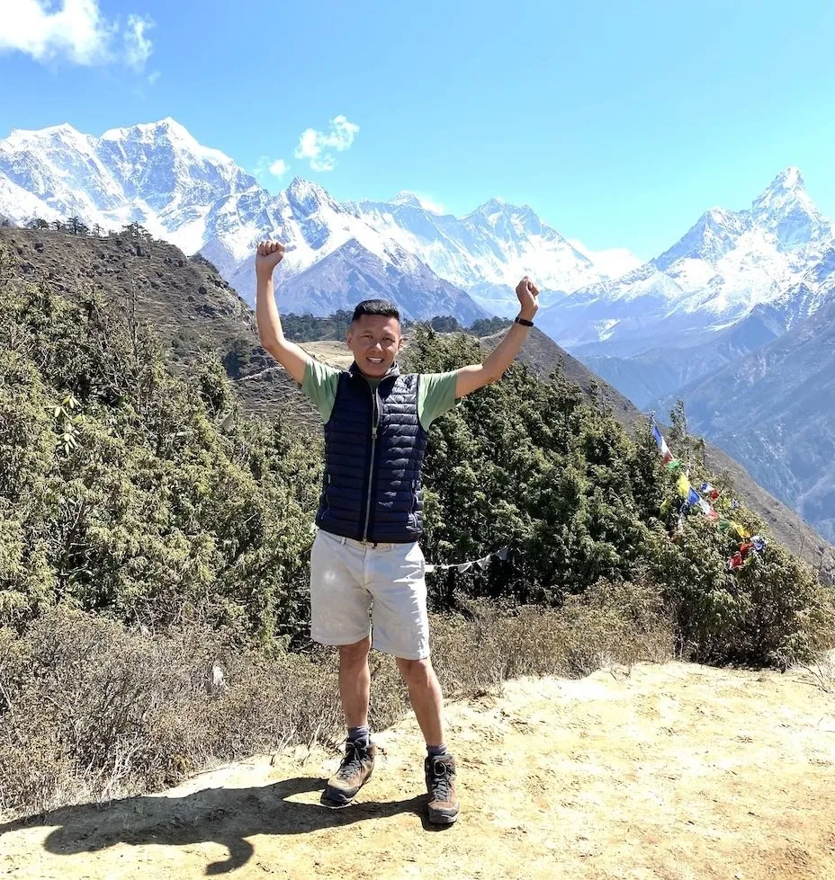
I was born in the mountains, and raised among some of the highest peaks on Earth. I am a proud native Sherpa. My home village of Sailung, Daduwa lies in the Ramechhap District in the Eastern part of Nepal, not far from the Everest region, the world’s highest mountain.
The specialist, I design your trip to the Himalayas; I have explored and guided the country and its regions many times, and I live here. My first-hand knowledge gives you the belief that no other travel company can match our expertise in helping you plan your trip to the Himalayas of Nepal, Bhutan & Tibet.
Since its start, Magical Summits has been super-powered by you, our community; when you “travel” it, we create it. We’re on a mission to make travel better with clean, award-winning adventures that are sustainable and conscious of the planet we share.
Thank you for being a part of our journey.
